

LAST year a unique set of apps was launched aiming to bring the landscape of the South Dorset Ridgeway to life. Download to your phone and switch on your GPS and – once you hit the right spot – you’ll be immersed in a pool of music, natural sounds and voices echoing down the years. Rachel Stretton went to Black Down near the Thomas Hardy monument to try the app and meet one of the people behind the project.
IF you suspend your grip on reality, just a little, you could believe you had stepped back in time.
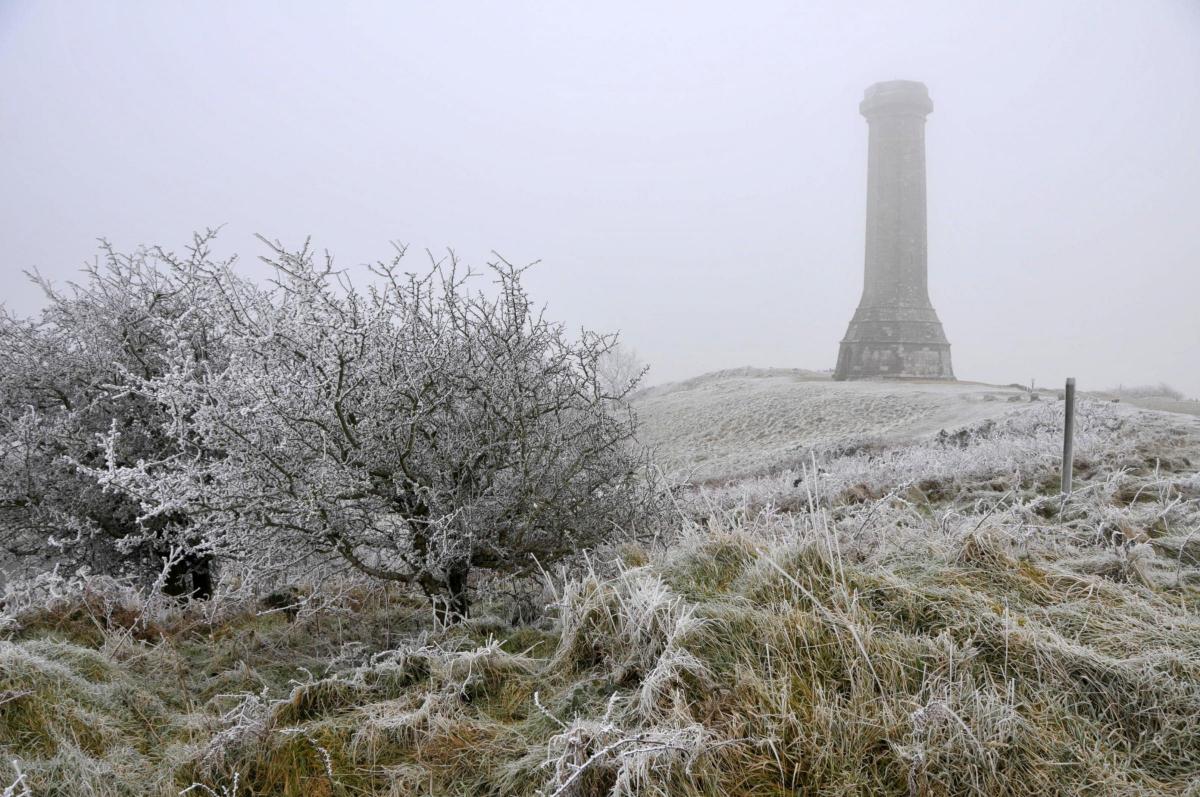
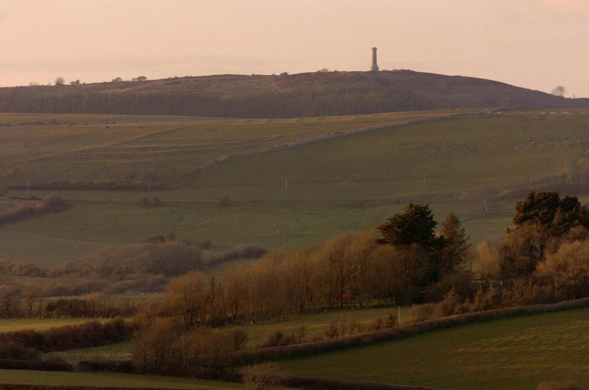
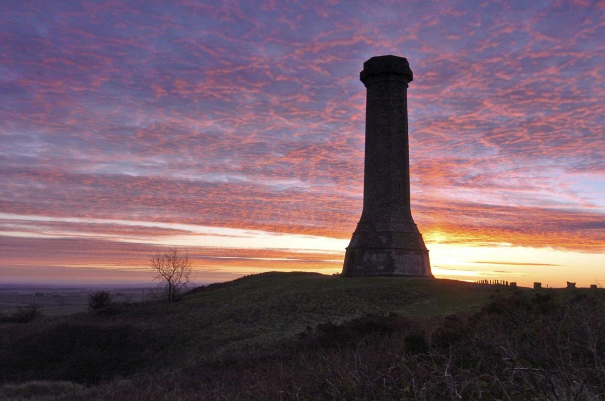
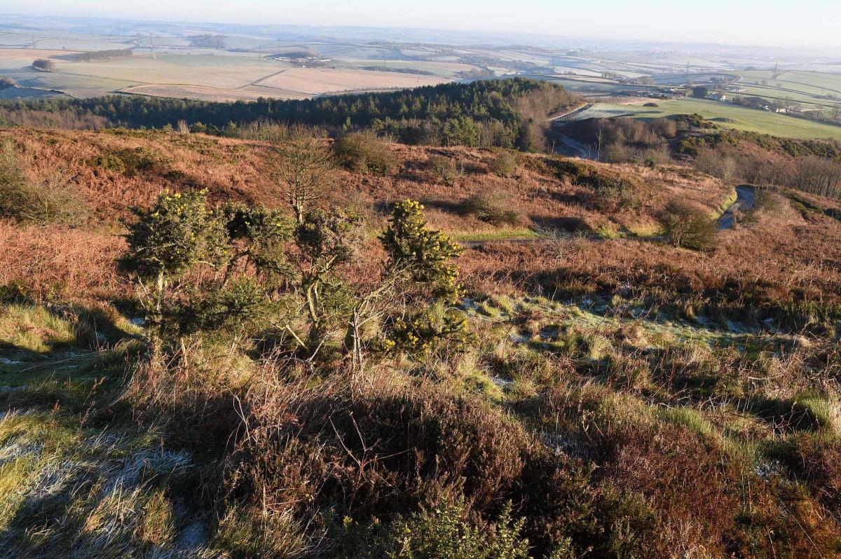
From the Hardy monument at Black Down there’s a 360 degree panorama of Maiden Castle, Portland, the sun’s rays bouncing off the sea beyond Chesil – and lots and lots of burial mounds.
James Sharpe, manager of the South Dorset Ridgeway landscape partnership, points out the mounds rising weirdly along the line of the ridgeway footpath just in front of the horizon.
And there’s another, quite literally beneath our feet, in the car park of the monument, its top flat, sliced off ‘like a boiled egg’ by someone, at some time in history, who dug down into it in the hope of finding treasure.
Turn on the app – the second of the set, which all correspond to different areas on the ridgeway – and you’ll hear the voice of Steve Wallis, senior archaeologist at Dorset County Council, as he talks about how those placed in burial mounds were left with food to sustain them on the journey to the afterlife.
It’s not only Bronze Age history that’s there to explore. Cross the road and take the footpath down to Smitten Corner and the app will immerse you in a soundscape of birds, church bells, cattle, and voices of the 20th Century in accents that have long been eroded by television and radio.
“They’re talking about Portesham,” says James, clearly in his element showing off the project that has been years in the making. “They’re talking about the stream running through the village, which is probably why people settled there.”

It is these connections between the Bronze Age tribes, our more modern ancestors and ourselves that make the app so evocative.
James points out depressions in the ground that we know now are caused by rain dissolving limestone gravel. They are often found near burial mounds because to our ancestors – it is thought – they were the gates to the underworld.
In the next moment he is talking about one of his favourite parts of the app.
“There are voice recordings from the history centre talking about a storm crashing onto Chesil, about being able to hear the waves churning the shingle. You’re walking along listening to these voices and the next moment Chesil comes into view.”

It is, in a sense, virtual reality, but instead of the high-profile games and futuristic experiences, it is looking back at our history, at the people who lived around the ridgeway long before we did.
And while it is hoped that the apps will get more tourists exploring the landscape – publicity will be managed through the Tourist Information Centres this year – the project is also very much about involving those who live here.
Local artists and schoolchildren have been instrumental in creating the soundscapes, from sharing their ideas to selecting and creating the music.
There are three currently three apps, but a fourth is being completed and there are plans ‘very much still in the ideas stage’ for a ‘poetry park’ around Eggardon Hill, where ramblers could use an app to listen to poems written by local people.
It’s hoped the Heritage Lottery funded project will appeal to those who already enjoy exploring the area – as well as those who might not consider themselves so outdoorsy.
“If people already love walking in the countryside and are confident to go out and do that, then that’s partially job done,” says James. “One of the aspirations with this is to interest people who might be less likely to visit the countryside.”
So just what is it that makes the South Dorset Ridgeway so special?
“We say it has an undeveloped character,” James says after some consideration. “I would go a smidge further. This is a farmed landscape but it does have a sense of wildness, I think, and it sparks the imagination. From where we are standing the sun is hitting Maiden Castle, the view out to Portland and sparkling on the sea. We are surrounded by monuments people built to celebrate the dead thousands of years ago and we can reach out and touch them.
“It’s like touching people from another world.”
I leave Black Down and drive down into Portesham, passing Front Street and the stream we’ve just been talking about. From down here the steep hills do look wild – and touched by just a little magic.

Area 'one of the most important' in Europe
THE South Dorset Ridgeway is one of the most important areas of archaeology in Europe.
James quotes a recent presentation by Bournemouth University lecturer in archaeology John Gale, who said the area is ‘as important’ as Stonehenge and Avebury – but less well known because it doesn’t have such an iconic monument.
Massive structures of timber and stone once stood on the South Dorset Ridgeway, when the land was worked in the Neolithic period, 4,000 years before the birth of Christ, through the Bronze Age and into the Iron Age.
It is known as the Grand Necropolis and contains more than 500 barrows, henges and causeways between West Bexington in the west to Osmington in the east.
How to get the apps
THE apps are made by developer Satsymph and can be downloaded for free. They are suitable for iPhone and Android. They work via GPS so a connection to wi-fi is not needed, and they will also work if there’s no phone signal.
The first takes in Chapel Coppice and the Grey Mare and her colts, a long barrow and burial chamber.
The second app covers Hardy’s Monument and the Bronkham Hill Barrow and the third features soundscapes around Kingston Russell and the Culliford Tree Barrow.
Visit www.satsymph.co.uk/projects-and-events/interpretation/southdorsetridgeway


Comments: Our rules
We want our comments to be a lively and valuable part of our community - a place where readers can debate and engage with the most important local issues. The ability to comment on our stories is a privilege, not a right, however, and that privilege may be withdrawn if it is abused or misused.
Please report any comments that break our rules.
Read the rules here