

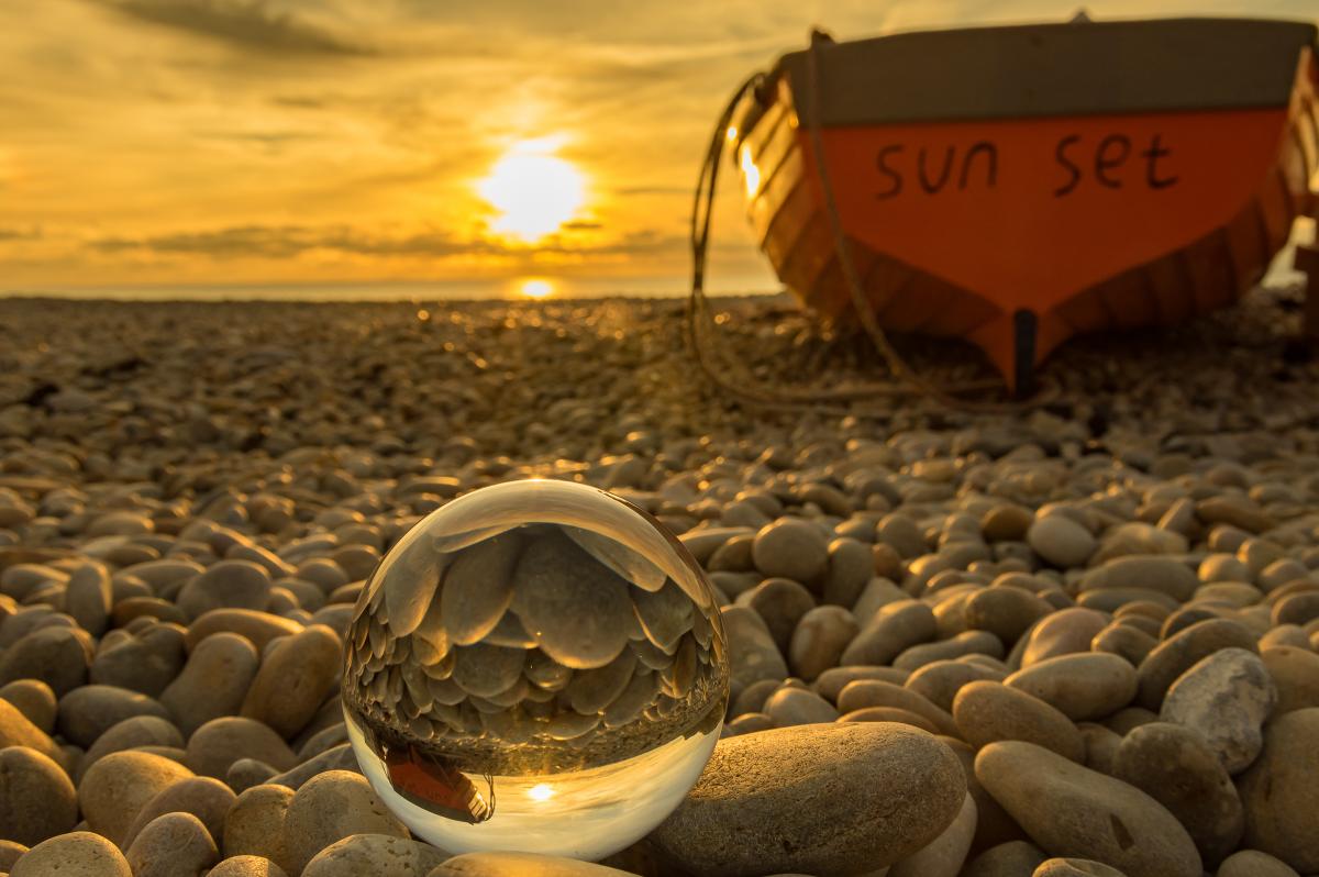
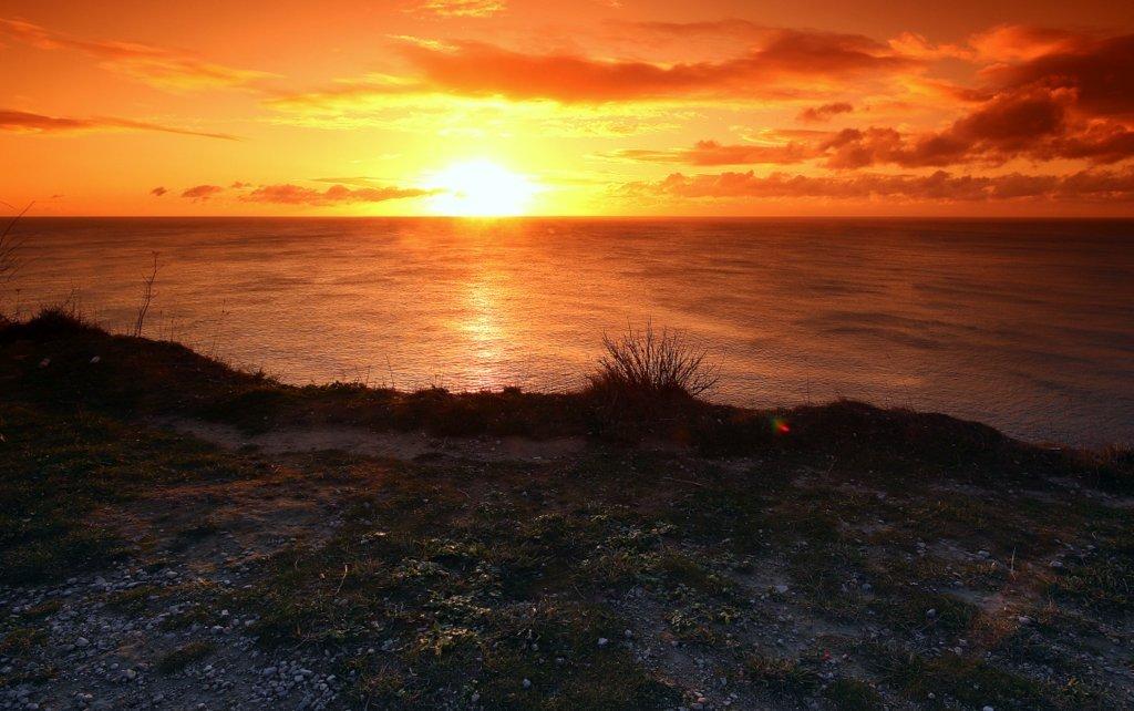
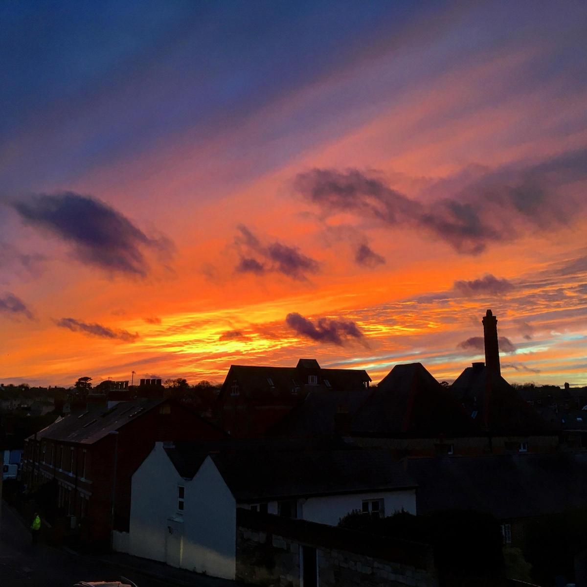


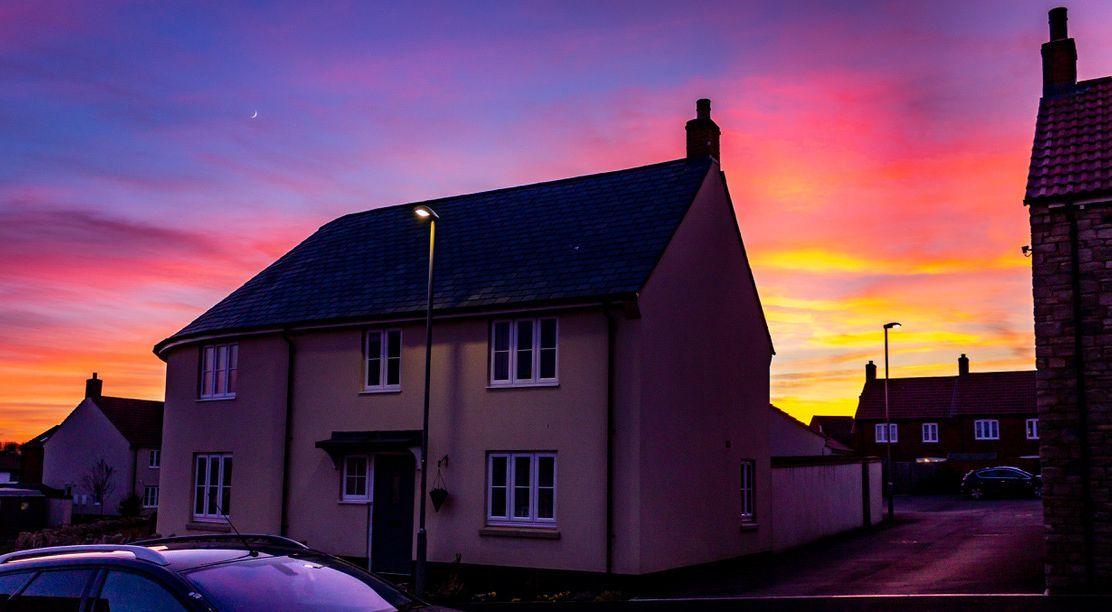
The skies over Dorset are ablaze with fantastic morning and evening performances from the sun rising and setting.
Winter is the perfect time to witness such spectacular sights as the reds and oranges from the sun are more pronounced at this time of year when it is colder.
Local photographers have been out and about capturing weather scenes – and all credit to them, particularly those for getting up early to capture the rising sun!
It comes as temperatures are dipping this week after a relatively mild winter so far.
And there are signs the cold weather could stick around for some time, according to the Met Office.
The jet stream is much weaker than usual for the time of year, which leaves the British Isles with an increased chance of settled weather and cold spells.
While weather alerts have been issued for other parts of the UK, Dorset is unaffected so far.
However drivers were warned to be careful out on the roads last night amid concerns the roads may be icy and dangerous.
Travel Dorset tweeted: "We are forecasting icy road and pavement conditions overnight (Thursday).
"It will be dry and cold with clear skies or areas of high cloud. Winds will be mainly light allowing a frost to develop.
"High confidence that road temps will fall below zero across the county."
It's brollies at the ready for later today though and for parts of Saturday as heavy rain is forecast.
And it's going to get colder over the next few days and into next week.
Chief Meteorologist Dan Suri said: “Colder Arctic air is spreading across the country, with temperatures struggling to reach above 5 or 6 Celsius for most of us. This is close to the average January temperature for the UK – but since it has been quite a mild winter so far, many will notice the difference by the end of the week. It’s going to feel very cold overnight with temperatures widely dipping close to or below freezing.”
* We'd love to see your weather pictures. Email newsdesk@dorsetecho.co.uk


Comments: Our rules
We want our comments to be a lively and valuable part of our community - a place where readers can debate and engage with the most important local issues. The ability to comment on our stories is a privilege, not a right, however, and that privilege may be withdrawn if it is abused or misused.
Please report any comments that break our rules.
Read the rules here